calculate_spatial_autocorrelation
Source:R/calculate_spatial_autocorrelation.R
calculate_spatial_autocorrelation.RdTakes the result of grid_metrics (a RasterLayer
object) and calculate its spatial autocorrelation.
calculate_spatial_autocorrelation(raster_obj, metric = "globalmoran", d = NULL)Arguments
- raster_obj
Raster object in the form of the output of
grid_metrics.- metric
String. The method for calculating spatial autocorrelation. Choose from "globalmoran" and "GearyC".
- d
Numeric. Upper bound local distance. The argument `d2` from function moran. Default is NULL and the distance will be calculated automatically from the number of splits and the extent of the grid image.
Value
A number is returned
Examples
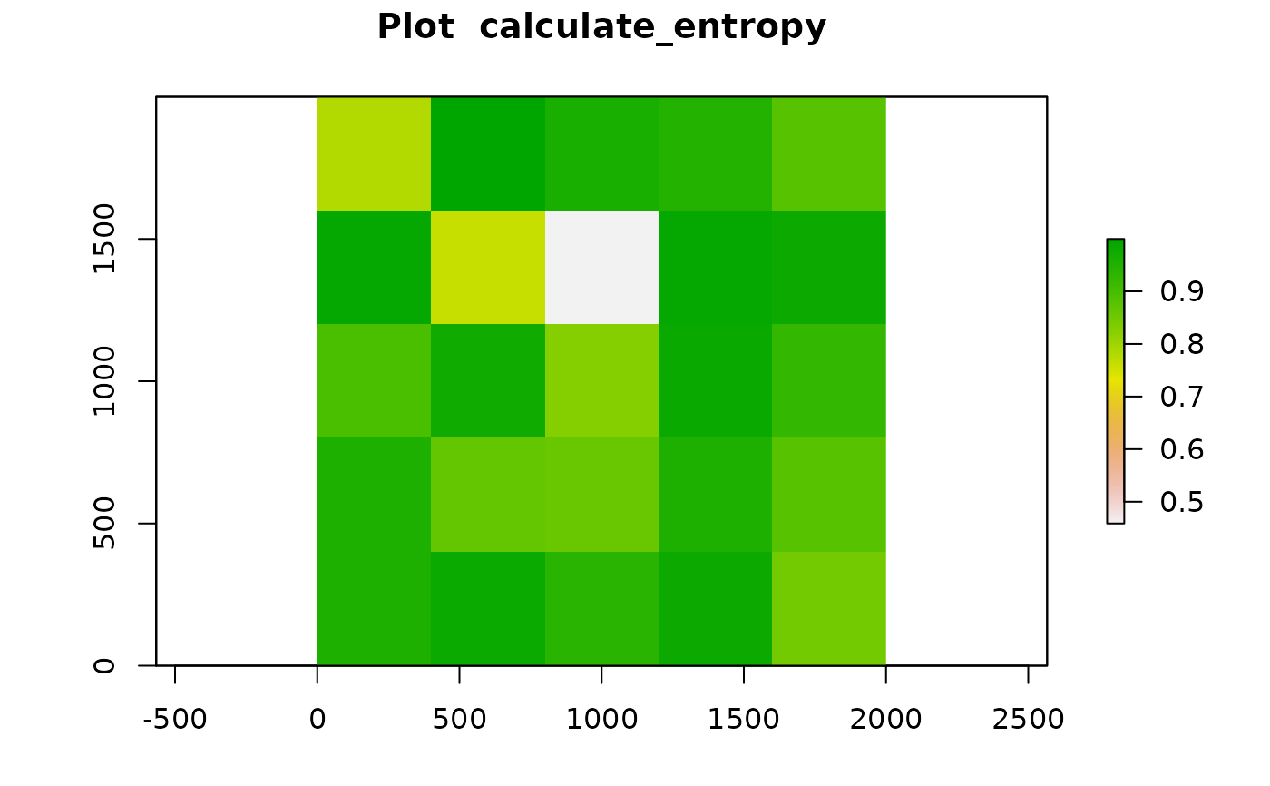
grid <- grid_metrics(SPIAT::defined_image, FUN = calculate_entropy,
n_split = 5, cell_types_of_interest=c("Tumour","Immune3"),
feature_colname = "Cell.Type")

calculate_spatial_autocorrelation(grid, metric = "globalmoran")
#> [1] -0.1094212
calculate_spatial_autocorrelation(grid, metric = "globalmoran")
#> [1] -0.1094212